LITTLE MAY GOLD – Development 2026/2027 Project
What sets Little May Gold apart from most projects?
The ore is readily available at surface in large quantities and is easily accessible.
This saves millions in development and provides very near-term profitability.
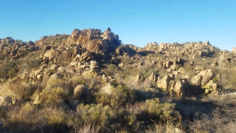
Location: The Little May Group is set in the western foothills of the Bradshaw Mountains in a well-known gold-rich area near the Hassayampa River of Arizona. It is located primarily on Arizona state land. It has been located, staked, and approved for exploratory mining on a mineral lease with the Arizona Land Trust.
Feasibility: Bulk exploration will help plan for a larger operation in the future. I have already verified by my own feet, hands, and eyes through exploration and ore testing that there is visible free-milling gold and sulfides readily available starting at the surface in several locations across the property. Historical reports and my own surveying indicate the reserve is at least 925,000 tons of enriched ore at an average of 10 GPT.
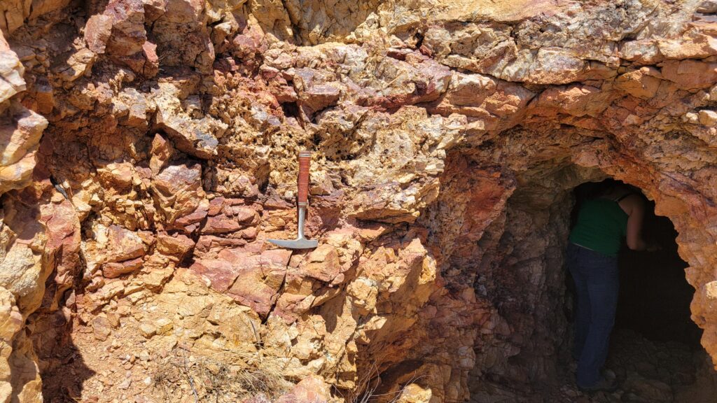
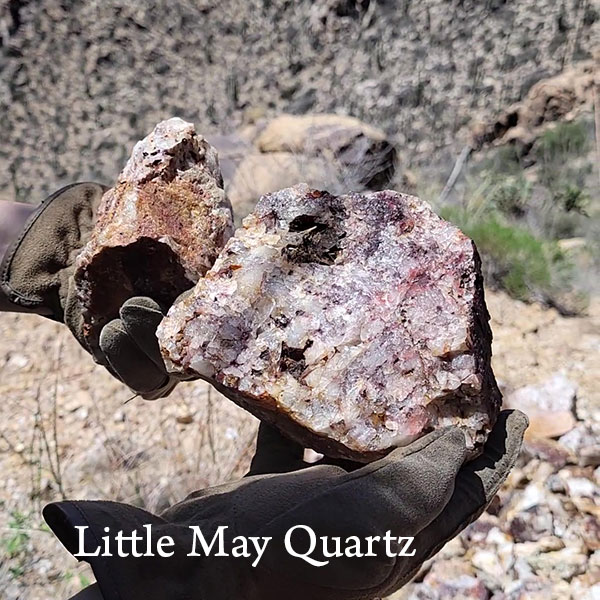
Geology & Mineralization: Within the canyon, erosion has presented an at-surface ore body, which I have personally observed and visually documented. It consists of massive 2–4 foot red wine-stained and highly mineralized quartz containing free-milling gold, silver, and sulfides (documented by Mr. Fisher and Engineer B.W. Brown, 1944). The geology of mineralization is Bradshaw Granite and monzonite porphyry, with diabase and rhyolite dikes. Veins are quartz showing traces of galena, copper, vanadium, and free gold associated with iron pyrite and brown hematite (Harry Fisher, December 14, 1946).
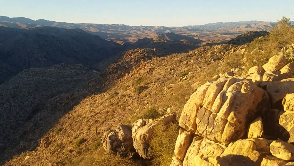
The well-known mines of Octave and Congress are 6 miles and 12 miles west, respectively. These mines were in ore production to depths of more than 2,000 feet below the surface. Due to the declivity and erosion, the vein is projected to a depth of 600–800 feet on the incline or dip at the westerly end into the Hassayampa River Canyon.
“About 24 samples assayed at various locations showed values principally in gold ranging from .01 of an ounce to 2 ounces per ton.” – B.W. Brown, Field Engineer 1944
I explored and photographed 3 adits below the rim of the canyon. The width of the vein is 1–4 feet, and the verified visible range from the canyon declivity at 600 feet below the primary surface of the claims to the easterly visible vein indicates an ore body in excess of 925,000 tons.
As mentioned, 2 non-commercial bulk samples were taken out of the property by Mr. Fisher. The easterly sample ran 1 OPT, and the westerly sample ran 0.5 OPT.
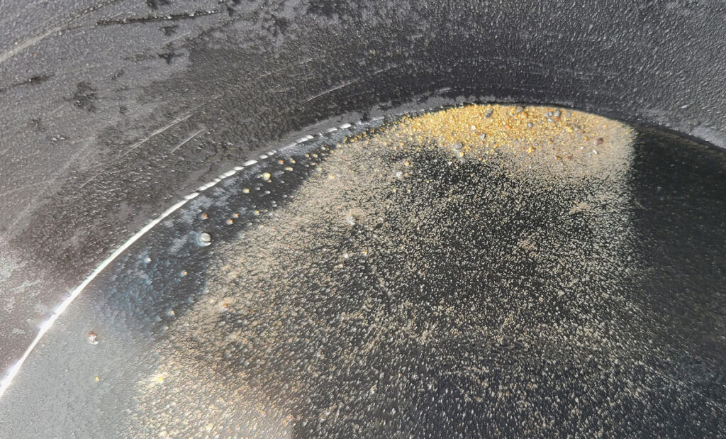
I have personally viewed the material from these areas and have witnessed the mineralization and visible free gold by milling and panning small grab samples, as described by B.W. Brown – Field Engineer: “The quartz shows finely divided gold in vugs of limonite and hematite.”
The above information regarding geology and values has been verified by myself, Eric Schultz, Claim Owner / State of AZ Mineral Lessee – Schultz Resource Management.
Presence of values is also supported by documentation and reports by Mr. Harry Fisher (Former Owner), B.W. Brown (Field Engineer), A. Macfarlane (AZ Field Engineer), and Arthur Clark (Mining Engineer).
A copy of the historical reports and writings is available upon request.
Current Spring 2026 Proposed Development:
Further sampling and NR-43-101 Geological report. Proposed development: Road improvement, Further sampling, Geophysical Mapping, Core drilling program to 300m x 3 holes.